00102
Map Overlays produced for R.A.D.
(Research, Art, Dialogue)
(Research, Art, Dialogue)
2015
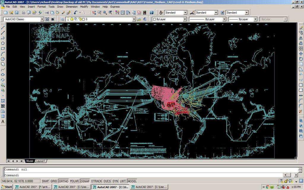
Map Overlays produced for R.A.D. (Research, Art, Dialogue), 2015
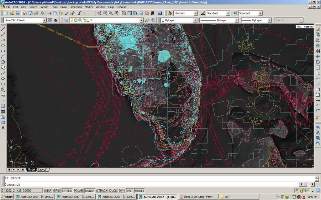
A.S.T. Research Images
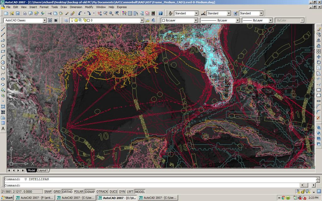
A.S.T. Research Images
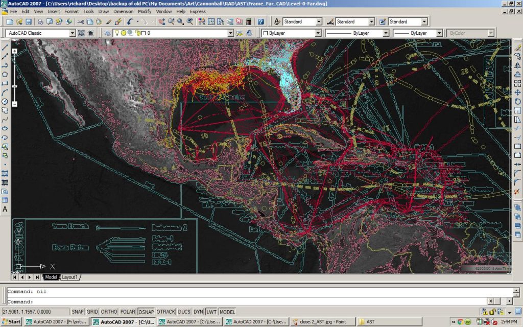
A.S.T. Research Images
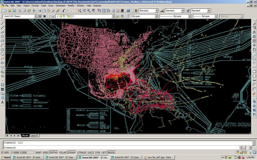
A.S.T. Research Images

